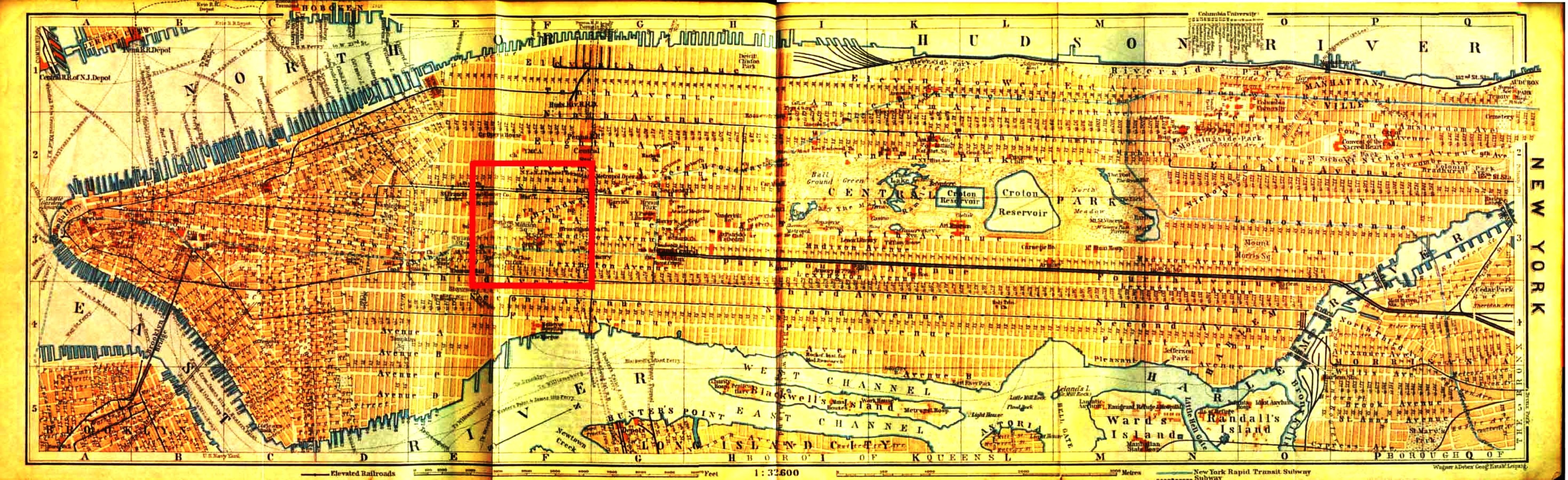
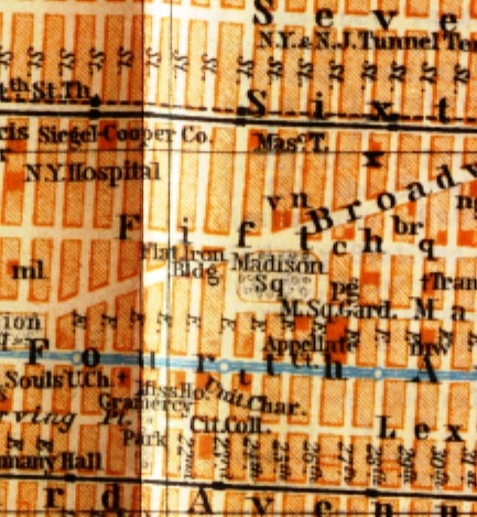
Madison
Square
Detail
of New York City Map
from
Frederick Philip Grove's Very Own 1909
Baedeker
to the United States
Click here for the large Map of New York City in 1910
|
Click here for the large Map of New York City in 1910
|
Source reference:
Baedeker, Karl. The
United States,
with Excursions to Mexico, Cuba, Porto Rico, and Alaska : Handbook for Travellers,
33 Maps and 48 Plans. Fourth Revised Edition. Leipzig: K. Baedeker,
Publisher, 1909.
Map II, Centre of New York: Detail of folded, two-tone map of Manhattan
between pp. 42 & 43
The Library of Frederick Philip Grove Collection
University of Manitoba, Archives & Special Collections
|

 Greve/Grove
Documents
Greve/Grove
Documents